


la grande forêt-17-07-22

Christiancordin
User
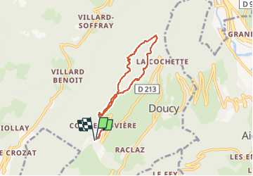

Length
6.1 km

Max alt
1298 m

Uphill gradient
254 m
Km-Effort
9.5 km

Min alt
1109 m

Downhill gradient
251 m
Boucle
Yes
Creation date :
2022-07-17 13:59:08.966
Updated on :
2022-07-28 14:51:33.725
1h22
Difficulty : Medium

FREE GPS app for hiking
 SityTrail
IGN / Geographical institutes
SityTrail Plus
The world is yours!
About
Trail Walking of 6.1 km to be discovered at Auvergne-Rhône-Alpes, Savoy, La Léchère. This trail is proposed by Christiancordin.
Description
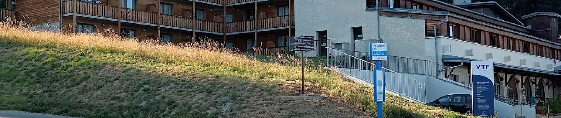
Doucy station--la grande forêt-les étangs-les grands plans-le Crétet-VTF.
Photos


Positioning
Country:
France
Region :
Auvergne-Rhône-Alpes
Department/Province :
Savoy
Municipality :
La Léchère
Location:
Doucy
Start:(Dec)
Start:(UTM)
301024 ; 5041349 (32T) N.
Comments